Weenat Weather Data: A Complete Dataset for Weather, Climate and Soil Moisture in France and Europe
This portal brings together all of Weenat’s meteorological and agro-climatic data services.
These are aimed at professionals in agriculture, industry and agrivoltaics who need precise meteorological and climatic information. Weenat solutions provide access to observation data (real-time and historical), forecasts, and specific indicators and analyses.
Weenat aggregates data from various sources (connected sensors, satellites, numerical models and public data). This multi-source approach guarantees reliable information. Better knowledge of weather and soil in a territory then becomes a lever to improve your agronomic performance and make better decisions.

Weenat’s Agrometeorological Data: Our Vision
Weenat offers innovative datasets that exploit agrometeorological data for professionals:
METEO VISION: Our spatialized weather data solution

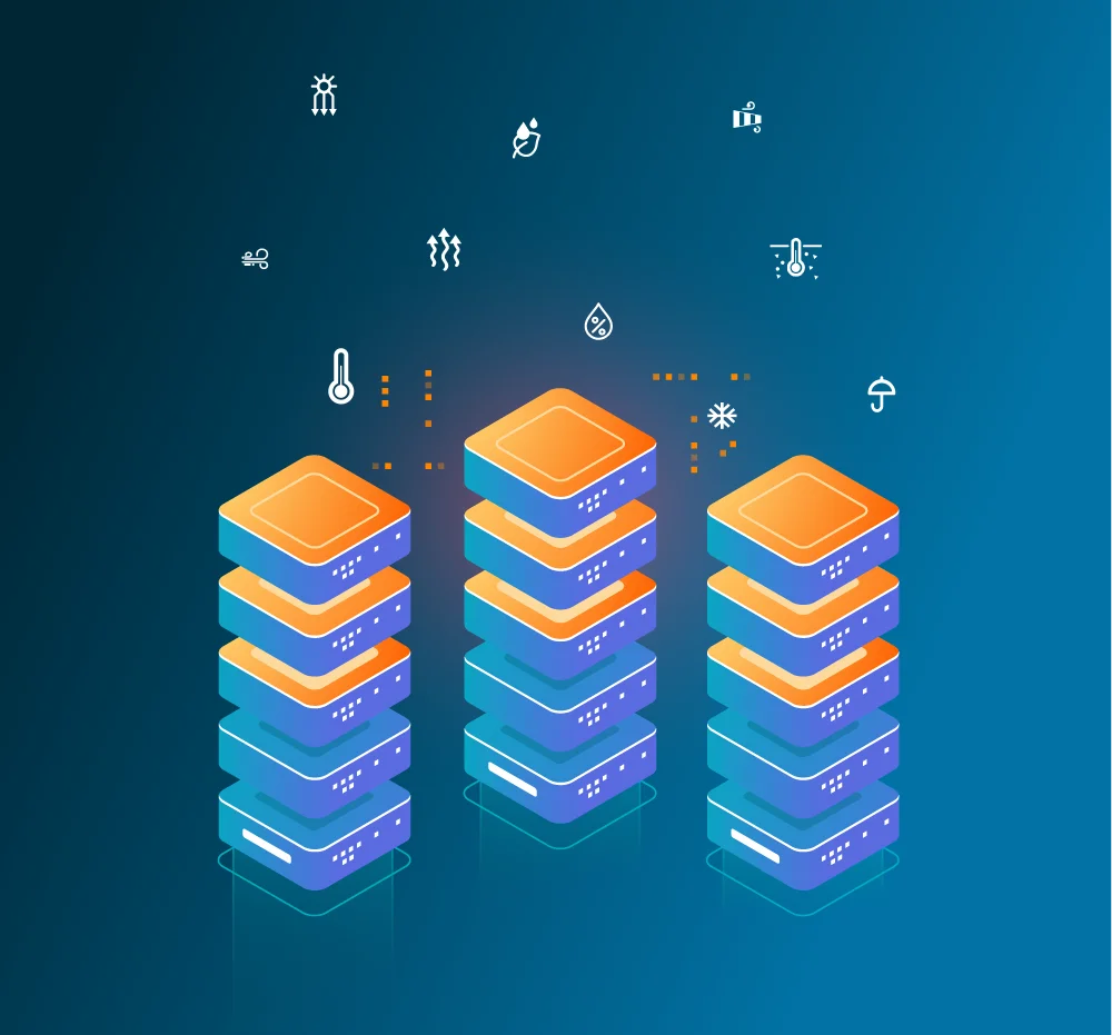
METEO VISION is our spatialized weather solution per km². It provides access to weather observation and forecast data covering your area of interest (France & Europe).
More than 40 weather parameters are available for each km², hour by hour (temperature, precipitation, wind, humidity, frost, sunshine, etc.).
METEO VISION provides a complete meteorological history since 2021, precise for each plot, feeding your decision-making tools and agronomic models. This solution is a real strength for anticipating risks (frost, drought, etc.) and optimizing your agricultural strategies.
CLIMATE VISION: Data to anticipate climate change

CLIMATE VISION focuses on medium and long-term agro-climatic projections.
Facing climate change, this solution helps project to 2030, 2040 and 2050 by integrating IPCC scenarios. After two years of R&D, Weenat analyzed historical climate data (1979–2021) at daily resolution.
Thanks to this unprecedented scale, CLIMATE VISION provides very fine local analyses. It particularly allows communities and agricultural sectors to adapt their decisions to the future climate, taking into account local specificities.
SOIL VISION: A research and innovation data project

SOIL VISION is a multidisciplinary research project dedicated to large-scale soil moisture.
Available in 2026, this technology uses artificial intelligence to estimate soil water content evolution without requiring on-site sensors. This is a world first!
Soil Vision algorithms combine thousands of historical and real-time datasets (field observations, satellite images, METEO VISION data) to train robust predictive models.
This intelligent system generates soil moisture maps at European scale.
How to access Weenat weather data?
Our API
We offer a weather API that meets your needs. It allows querying more than 40 weather and agronomic parameters (temperature, wind, precipitation, humidity, radiation, etc.) available in France and throughout Europe.
Our unique downscaling technology refines weather models (AROME, ICON, etc.) and local network data (more than 10,000 sensors in Europe) to provide data at a spatial resolution of 1 km². Data is available at different frequencies (hourly, daily) according to needs.
Here are the types of data currently available with the Weenat API:
Our custom agro-weather studies and cartographies
In addition to our API, the Weenat Data team produces custom studies and cartographies to transform your territory’s agro-meteorological history into operational knowledge.

Agro-Weather Cartographies
Our Agro-Weather cartographies allow precise monitoring of meteorological and agronomic phenomena evolution throughout the season and at campaign end.
By requesting a personalized cartography, you receive:
- Maps tracing temperature, precipitation, humidity and radiation data for each plot
- Key agronomic indicators (water stress, frost, degree-days) calculated hour by hour to anticipate your interventions
- Customizable exports (CSV/JSON) to directly integrate these cartographies into your GIS and decision-making tools
Personalized Agro-Climatic Projections
With Climate Vision, benefit from an agro-climatic study tailored to your territory:
- Use of IPCC scenarios to model climate evolution by 2030, 2040 and 2050
- Spatialization at daily grid for more than 1.8 million points covering France and Europe
- Analysis of climate impacts on your crops, with identification of adaptation levers (resistant varieties, sowing calendars, irrigation management)
Need help or have a specific project in mind?
Our Data Team is at your disposal!
Whether you want to integrate the Weenat Weather API into your tools or conduct a personalized climate study, our mission is to support you.
Contact us via the form below to get a demonstration or complete documentation.

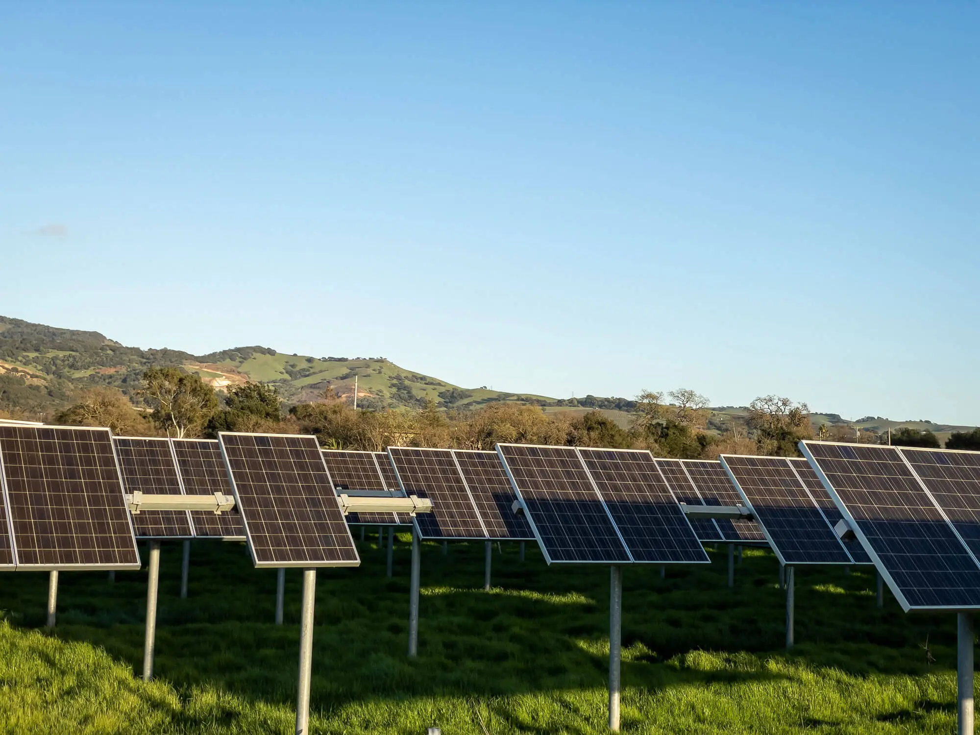
☀️ Agrivoltaics at Weenat: data solutions to support your projects
Facing the rise of agrivoltaics, Weenat develops specialized solutions for project developers and operators. From identifying the most suitable sites to daily regulatory monitoring, our data tools support every step of your agrivoltaic approach.
Climate Vision allows analyzing climatological history since 1979 and identifying areas where photovoltaic shading will bring real agronomic benefit. Our precision sensors (pyranometer, PAR, hygrometry) measure panel impact on microclimate and document yield gains required by regulations. The Weenat API centralizes all this data to feed your management tools and simplify your compliance reporting.
This data expertise meets any strict requirements and helps you sustainably valorize the complementarity between agricultural and energy production.
Weather data at the heart of our Expertise
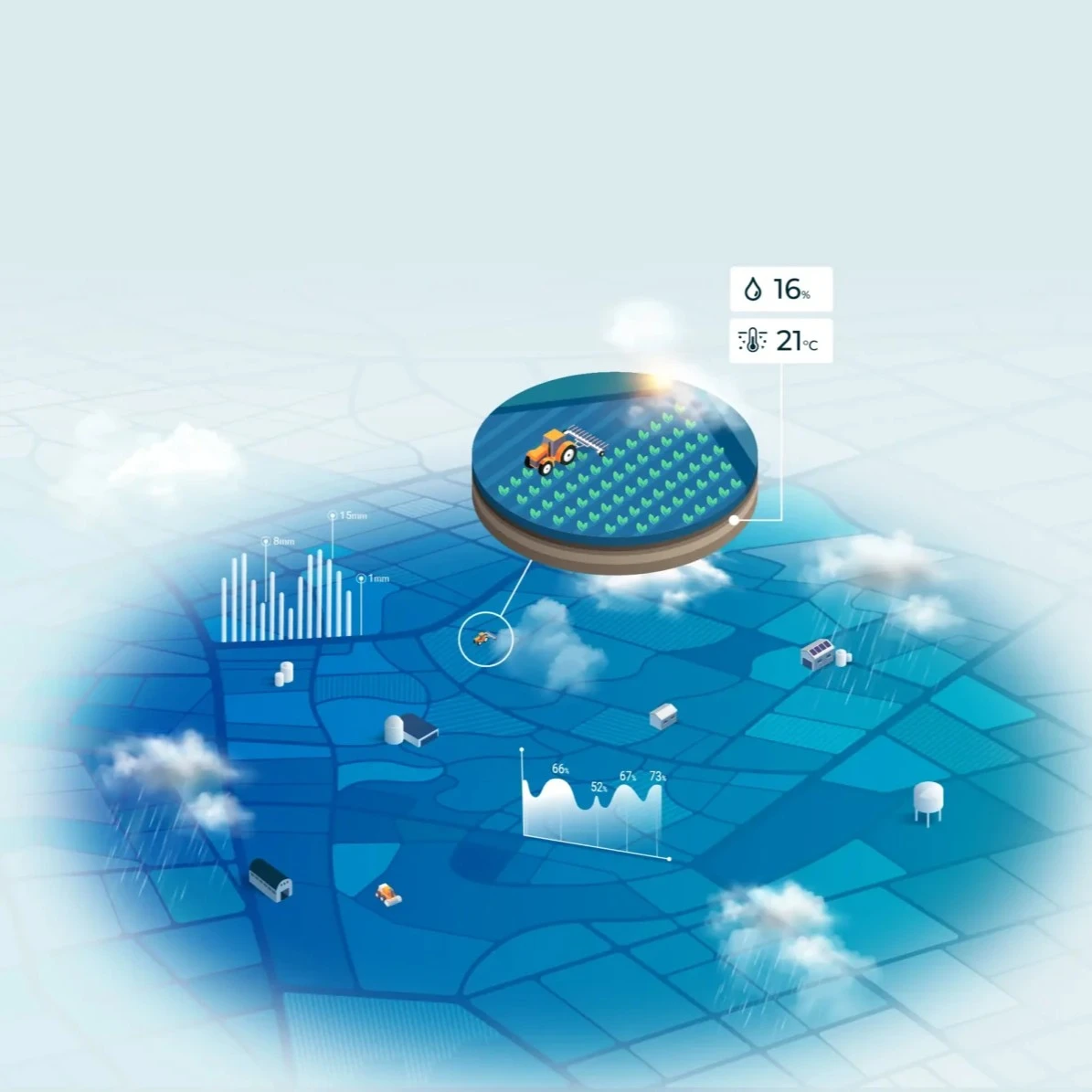
Our infrastructure relies on real-time aggregation and calibration of multi-source flows — national weather models, satellites, and a network of more than 30,000 stations and sensors — to generate homogeneous datasets at the fine grid of 1 km²/hour.
We then apply quality control and dynamic downscaling algorithms, ensuring optimal reliability through outlier detection and spatio-temporal reconciliation of more than one billion points daily.
Strong with our teams’ expertise (climatologists, data scientists and agronomists) and validated by reference institutes, this technological foundation feeds all our products, from METEO VISION to CLIMATE VISION projections, guaranteeing robust and exploitable information to anticipate risks and optimize your decisions.
Our partners using Weenat weather data

“One of the advantages of METEO VISION is that our members can geolocate their plots directly in their extranet space: Cristalcoop.fr, which groups all information related to their account. They thus have easy access to ultra-local data, with 1 km² resolution, which allows adapting OAD recommendations to field reality.”
Quentin Tilloy
Agronomic Manager at Cristal Union